The end of Palmers Lane
Introduction
The photograph on this page of The end of Palmers Lane by Robin Webster as part of the Geograph project.
The Geograph project started in 2005 with the aim of publishing, organising and preserving representative images for every square kilometre of Great Britain, Ireland and the Isle of Man.

There are currently over 7.5m images from over 14,400 individuals and you can help contribute to the project by visiting https://www.geograph.org.uk
The end of Palmers Lane
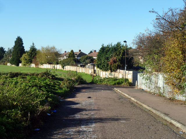
Image: © Robin Webster Taken: 11 Nov 2012
At least for cars, etc, and there is hardly any provision for turning round. The route continues as a footpath, and there is a foot and cycle way on the right to Stoneleigh Avenue.
Images are licensed for reuse under creativecommons.org/licenses/by-sa/2.0
Image Location
Latitude
51.662873
Longitude
-0.050094