Do not pass!
Introduction
The photograph on this page of Do not pass! by David Howard as part of the Geograph project.
The Geograph project started in 2005 with the aim of publishing, organising and preserving representative images for every square kilometre of Great Britain, Ireland and the Isle of Man.

There are currently over 7.5m images from over 14,400 individuals and you can help contribute to the project by visiting https://www.geograph.org.uk
Do not pass!
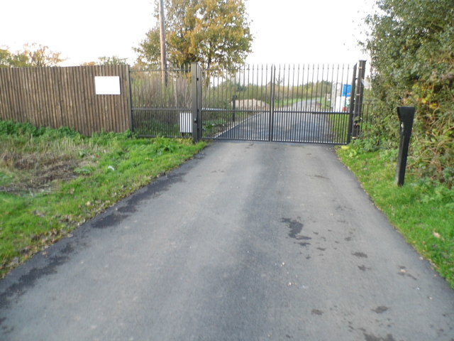
Image: © David Howard Taken: 11 Nov 2012
This is the point where the public Old Common Road becomes Norwood Farm Lane, and also enters the next gridsquare I needed, TQ1062. But as you see, there is no way round the checkpoint and ordinary people will have to enter it from the north in Hersham, the other side of the River Mole.
Images are licensed for reuse under creativecommons.org/licenses/by-sa/2.0
Image Location
Latitude
51.34132
Longitude
-0.415252