Moordown: Meadow Court Close
Introduction
The photograph on this page of Moordown: Meadow Court Close by Chris Downer as part of the Geograph project.
The Geograph project started in 2005 with the aim of publishing, organising and preserving representative images for every square kilometre of Great Britain, Ireland and the Isle of Man.

There are currently over 7.5m images from over 14,400 individuals and you can help contribute to the project by visiting https://www.geograph.org.uk
Moordown: Meadow Court Close
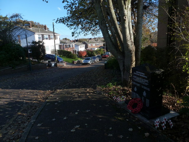
Image: © Chris Downer Taken: 11 Nov 2012
A small cul-de-sac off the main Wimborne Road, with the block of flats Meadow Court on the corner (unseen, to the right). On the small tree/grass patch on the corner stands Image, commemorating those who lost their lives during a wartime plane crash on this spot in 1944.
Images are licensed for reuse under creativecommons.org/licenses/by-sa/2.0
Image Location
Latitude
50.756417
Longitude
-1.8725