Crossmichael
Introduction
The photograph on this page of Crossmichael by Mary and Angus Hogg as part of the Geograph project.
The Geograph project started in 2005 with the aim of publishing, organising and preserving representative images for every square kilometre of Great Britain, Ireland and the Isle of Man.

There are currently over 7.5m images from over 14,400 individuals and you can help contribute to the project by visiting https://www.geograph.org.uk
Crossmichael
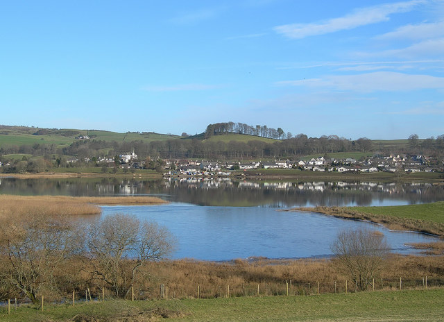
Image: © Mary and Angus Hogg Taken: 25 Jan 2007
Viewed from the other side of the River Dee.
Images are licensed for reuse under creativecommons.org/licenses/by-sa/2.0
Image Location
Latitude
54.978426
Longitude
-3.98402