
Low sandstone wall at Abbots Wood Garden
Introduction
The photograph on this page of Low sandstone wall at Abbots Wood Garden by Stephen Middlemiss as part of the Geograph project.
The Geograph project started in 2005 with the aim of publishing, organising and preserving representative images for every square kilometre of Great Britain, Ireland and the Isle of Man.

There are currently over 7.5m images from over 14,400 individuals and you can help contribute to the project by visiting https://www.geograph.org.uk
Low sandstone wall at Abbots Wood Garden
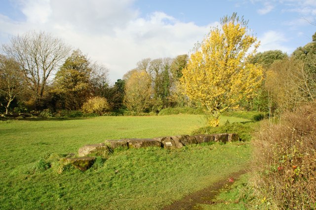
Image: © Stephen Middlemiss Taken: 10 Nov 2012
Attached to the wall is a plaque http://www.geograph.org.uk/photo/3219238 telling of a nuclear/cold war connection to this area, the plaque reads Abbots Wood Garden This ground was the site of the bunker and control centre for Barrow to be used in the event of a nuclear attack. Its transformation marks the end of the Cold War. This plaque is placed here in memory of Dr Arthur Hay and all those who worked for health and peace throughout that time. We offer this garden as a place to reflect upon what you can do for our world
Images are licensed for reuse under creativecommons.org/licenses/by-sa/2.0
Image Location

Latitude
54.140594
Longitude
-3.195148