Aldeburgh Sailing Club
Introduction
The photograph on this page of Aldeburgh Sailing Club by Richard Law as part of the Geograph project.
The Geograph project started in 2005 with the aim of publishing, organising and preserving representative images for every square kilometre of Great Britain, Ireland and the Isle of Man.

There are currently over 7.5m images from over 14,400 individuals and you can help contribute to the project by visiting https://www.geograph.org.uk
Aldeburgh Sailing Club
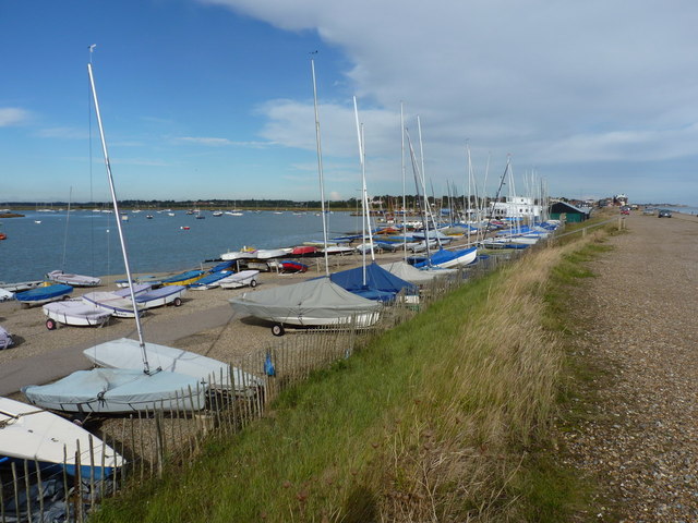
Image: © Richard Law Taken: 13 Oct 2012
The club house and moorings stretch out along the river on the west side of the shingle bank.
Images are licensed for reuse under creativecommons.org/licenses/by-sa/2.0
Image Location
Latitude
52.141304
Longitude
1.598285