St Margaret's Road
Introduction
The photograph on this page of St Margaret's Road by Derek Harper as part of the Geograph project.
The Geograph project started in 2005 with the aim of publishing, organising and preserving representative images for every square kilometre of Great Britain, Ireland and the Isle of Man.

There are currently over 7.5m images from over 14,400 individuals and you can help contribute to the project by visiting https://www.geograph.org.uk
St Margaret's Road
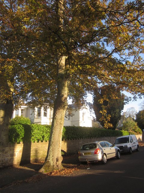
Image: © Derek Harper Taken: 7 Nov 2012
A beech tree and large villa (now sub-divided) close to the junction with Priory Road.
Images are licensed for reuse under creativecommons.org/licenses/by-sa/2.0
Image Location
Latitude
50.481472
Longitude
-3.525121