Stratford-on-Avon Canal: Reach in King's Norton
Introduction
The photograph on this page of Stratford-on-Avon Canal: Reach in King's Norton by Nigel Cox as part of the Geograph project.
The Geograph project started in 2005 with the aim of publishing, organising and preserving representative images for every square kilometre of Great Britain, Ireland and the Isle of Man.

There are currently over 7.5m images from over 14,400 individuals and you can help contribute to the project by visiting https://www.geograph.org.uk
Stratford-on-Avon Canal: Reach in King's Norton
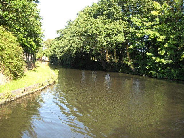
Image: © Nigel Cox Taken: 7 Sep 2012
This broad reach of canal is the start of the Stratford-on-Avon Canal leading away from the King's Norton Junction with the Worcester and Birmingham Canal. It leads to the narrow channel through Image visible in the distance. (This photograph concludes our circumnavigation of the Warwickshire Ring, with a couple of diversions (!). 11 cruising days, 407 photographs, 201 grid squares, a few units of alcohol, and a slightly battered boat. To return to the start please go to Image !)
Images are licensed for reuse under creativecommons.org/licenses/by-sa/2.0
Image Location
Latitude
52.412664
Longitude
-1.921302