Ballyronan Wood picnic area
Introduction
The photograph on this page of Ballyronan Wood picnic area by Jude Byrne as part of the Geograph project.
The Geograph project started in 2005 with the aim of publishing, organising and preserving representative images for every square kilometre of Great Britain, Ireland and the Isle of Man.

There are currently over 7.5m images from over 14,400 individuals and you can help contribute to the project by visiting https://www.geograph.org.uk
Ballyronan Wood picnic area
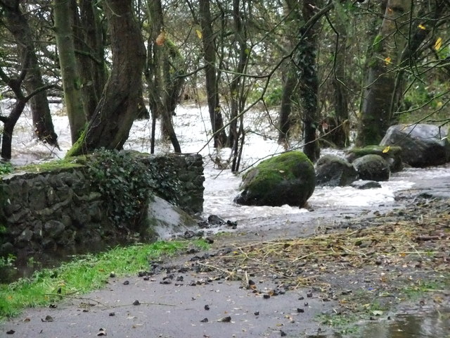
Image: © Jude Byrne Taken: 3 Nov 2011
Unusually high water level in Lough Neagh, with the waves lapping over the footpath to the wood from the car park.
Images are licensed for reuse under creativecommons.org/licenses/by-sa/2.0
Image Location
Latitude
54.713365
Longitude
-6.529984