Edenfield Primary School
Introduction
The photograph on this page of Edenfield Primary School by Paul Anderson as part of the Geograph project.
The Geograph project started in 2005 with the aim of publishing, organising and preserving representative images for every square kilometre of Great Britain, Ireland and the Isle of Man.

There are currently over 7.5m images from over 14,400 individuals and you can help contribute to the project by visiting https://www.geograph.org.uk
Edenfield Primary School
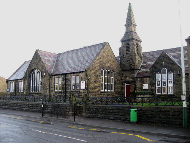
Image: © Paul Anderson Taken: 26 Jan 2007
Edenfield Primary School is located to the north of the village on Market Street. Much of the land in the area is in the ownership of the National Trust, the result of a bequest by the Porritt family in memory of Richard Porritt, the first Member of Parliament to be killed in action during the Second World War, and many attractive footpaths traverse this area, including a section of the 45-mile Rossendale Way long-distance footpath. The population of this area of the Borough is approximately 3,500 and, although mainly of a residential nature, a number of light industries are carried out in the area. Edenfield Primary School Web Site click on http://www.edenfieldceprimary.ik.org/
Images are licensed for reuse under creativecommons.org/licenses/by-sa/2.0
Image Location
Latitude
53.67473
Longitude
-2.304982