Lower Dawlish Water
Introduction
The photograph on this page of Lower Dawlish Water by Derek Harper as part of the Geograph project.
The Geograph project started in 2005 with the aim of publishing, organising and preserving representative images for every square kilometre of Great Britain, Ireland and the Isle of Man.

There are currently over 7.5m images from over 14,400 individuals and you can help contribute to the project by visiting https://www.geograph.org.uk
Lower Dawlish Water
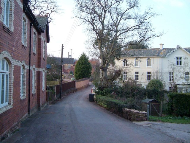
Image: © Derek Harper Taken: 18 Mar 2006
A reverse view of the scene in Image On the left are Shiverstone Cottages. On the right is the C19 Coombe Brook http://www.britishlistedbuildings.co.uk/en-84391-coombe-brook-dawlish-devon . You can just make out the postbox in the centre by the gatepost - I'm afraid I didn't take the number or reign either!
Images are licensed for reuse under creativecommons.org/licenses/by-sa/2.0
Image Location
Latitude
50.586124
Longitude
-3.493043