Squeeze Gate on National Cycle Network 13, Coldharbour Point
Introduction
The photograph on this page of Squeeze Gate on National Cycle Network 13, Coldharbour Point by David Anstiss as part of the Geograph project.
The Geograph project started in 2005 with the aim of publishing, organising and preserving representative images for every square kilometre of Great Britain, Ireland and the Isle of Man.

There are currently over 7.5m images from over 14,400 individuals and you can help contribute to the project by visiting https://www.geograph.org.uk
Squeeze Gate on National Cycle Network 13, Coldharbour Point
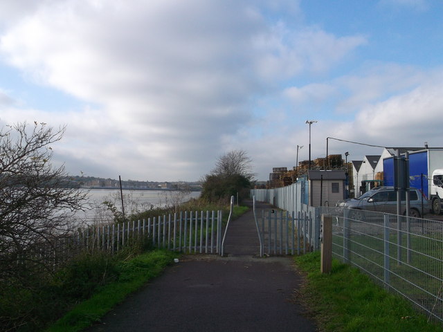
Image: © David Anstiss Taken: 7 Nov 2012
This riverside path leads from Purfleet past Freightmaster Estate towards Rainham. Several mileposts are placed along the route (just before the gate). On the left is the River Thames.
Images are licensed for reuse under creativecommons.org/licenses/by-sa/2.0
Image Location
Latitude
51.488084
Longitude
0.192789