Western end of The Feeder, Bristol
Introduction
The photograph on this page of Western end of The Feeder, Bristol by Jaggery as part of the Geograph project.
The Geograph project started in 2005 with the aim of publishing, organising and preserving representative images for every square kilometre of Great Britain, Ireland and the Isle of Man.

There are currently over 7.5m images from over 14,400 individuals and you can help contribute to the project by visiting https://www.geograph.org.uk
Western end of The Feeder, Bristol
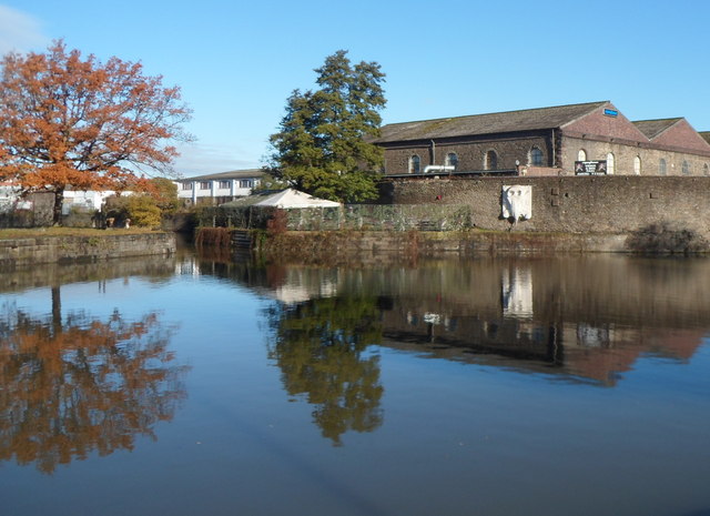
Image: © Jaggery Taken: 8 Nov 2012
Viewed from Feeder Road. The Feeder is an artificial channel built between Temple Meads and Netham during construction of Bristol's floating harbour to give a link to the tidal River Avon so that boats could continue upstream to Bath. Marsh Bridge is nearby, out of shot on the right.
Images are licensed for reuse under creativecommons.org/licenses/by-sa/2.0
Image Location


Leaflet Map data © OpenStreetMap
Latitude
51.449255
Longitude
-2.576712