Approaching Braehead
Introduction
The photograph on this page of Approaching Braehead by Lairich Rig as part of the Geograph project.
The Geograph project started in 2005 with the aim of publishing, organising and preserving representative images for every square kilometre of Great Britain, Ireland and the Isle of Man.

There are currently over 7.5m images from over 14,400 individuals and you can help contribute to the project by visiting https://www.geograph.org.uk
Approaching Braehead
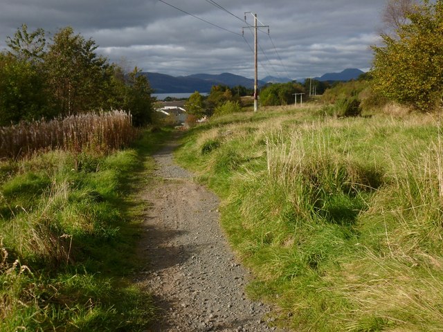
Image: © Lairich Rig Taken: 8 Oct 2012
This picture was taken from the point where the path shown in Image turns to the right. This last section of the path leaves the community woodland not far ahead, beside some markers (Image) that indicate one of the access points. Another downhill path leads to the same point; see Image, which shows the end-point of both paths at the top of Braehead. The body of water visible in the background of the present photograph is Loch Lomond.
Images are licensed for reuse under creativecommons.org/licenses/by-sa/2.0
Image Location
Latitude
55.979791
Longitude
-4.55533