Path leading down towards Braehead
Introduction
The photograph on this page of Path leading down towards Braehead by Lairich Rig as part of the Geograph project.
The Geograph project started in 2005 with the aim of publishing, organising and preserving representative images for every square kilometre of Great Britain, Ireland and the Isle of Man.

There are currently over 7.5m images from over 14,400 individuals and you can help contribute to the project by visiting https://www.geograph.org.uk
Path leading down towards Braehead
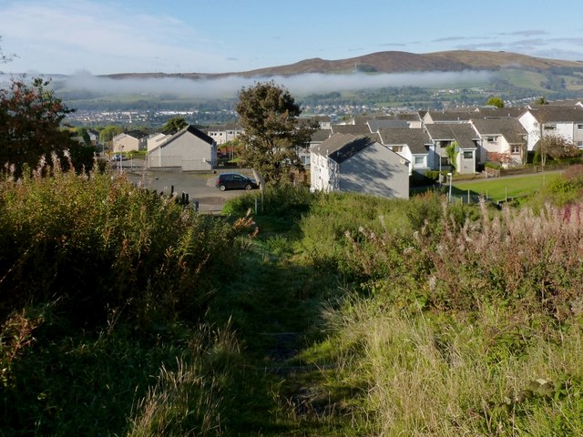
Image: © Lairich Rig Taken: 8 Oct 2012
Two different paths lead downhill from the point that is shown in Image; the last part of the more northerly of the two paths is shown here. Both paths lead to this area, at the top of Braehead, where one of the access points of the community woodland is located (as indicated by some markers: Image). See Image for the same view in winter, and for background details.
Images are licensed for reuse under creativecommons.org/licenses/by-sa/2.0
Image Location
Latitude
55.980223
Longitude
-4.55616