Woodhouse Lane, Rastrick
Introduction
The photograph on this page of Woodhouse Lane, Rastrick by Humphrey Bolton as part of the Geograph project.
The Geograph project started in 2005 with the aim of publishing, organising and preserving representative images for every square kilometre of Great Britain, Ireland and the Isle of Man.

There are currently over 7.5m images from over 14,400 individuals and you can help contribute to the project by visiting https://www.geograph.org.uk
Woodhouse Lane, Rastrick
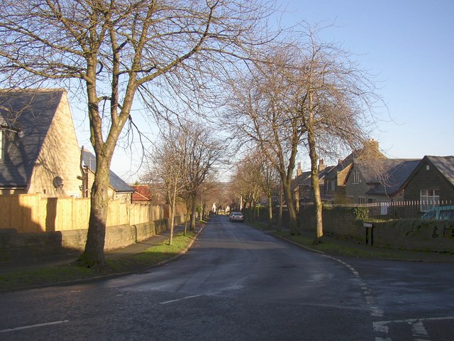
Image: © Humphrey Bolton Taken: 22 Jan 2007
This is the southern end, at the junction with Shepherds Thorn Lane. The road is an ancient lane that was reconstructed as unemployment relief works in 1930.
Images are licensed for reuse under creativecommons.org/licenses/by-sa/2.0
Image Location
Latitude
53.687055
Longitude
-1.78192