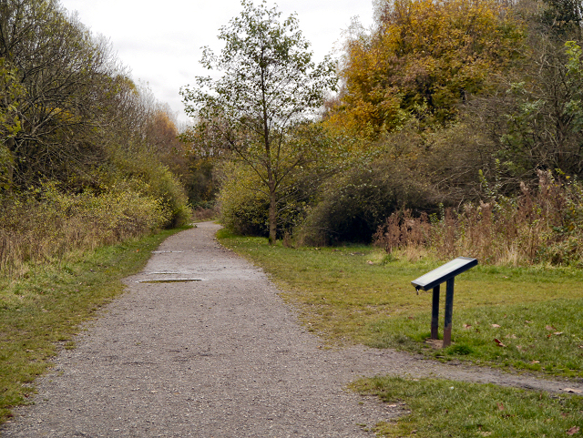
Path in Highfield Country Park
Introduction
The photograph on this page of Path in Highfield Country Park by David Dixon as part of the Geograph project.
The Geograph project started in 2005 with the aim of publishing, organising and preserving representative images for every square kilometre of Great Britain, Ireland and the Isle of Man.
There are currently over 7.5m images from over 14,400 individuals and you can help contribute to the project by visiting https://www.geograph.org.uk

Image: © David Dixon Taken: 7 Nov 2012
Highfield Country Park is situated to the east of Levenshulme. It is a 70 acre area of open land that stretches to the east of Broom Avenue across to the back of Houldsworth Golf Course and over to the junction of Longford Road and Nelstrop Road. The land was used to extract clay for the manufacture of bricks for the building industry. The clay pit and brick works existed until the 1950s when it was being operated by the Jackson Brick Company. Other businesses that have occupied the site included the UCP tripe factory, Levenshulme Dye and Bleach works, and, originally, High Field Farm. In the 1970s, by which time it was little more than a landfill site, the area was designated as a country park by Manchester City Council. During the period 2004-5 the park was transformed from a dreary, vandalised wasteland into a country park with a picnic area and mapped out country walks. (http://www2.btcv.org.uk/manchester.pdf "Case Study: Highfield Country Park, Manchester" (PDF). BTCV Grass Roots) In November 2007, Highfield Country Park was declared a protected habitat for many animal and plant species. http://en.wikipedia.org/wiki/Highfield_Country_Park Wikipedia

