A40 Dual Carriageway
Introduction
The photograph on this page of A40 Dual Carriageway by Nigel Mykura as part of the Geograph project.
The Geograph project started in 2005 with the aim of publishing, organising and preserving representative images for every square kilometre of Great Britain, Ireland and the Isle of Man.

There are currently over 7.5m images from over 14,400 individuals and you can help contribute to the project by visiting https://www.geograph.org.uk
A40 Dual Carriageway
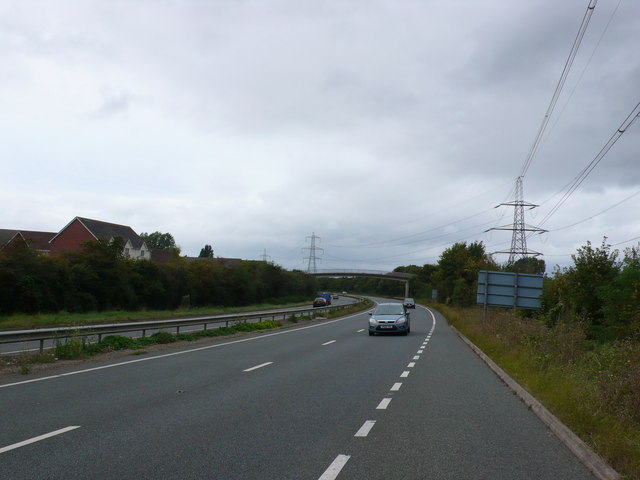
Image: © Nigel Mykura Taken: 30 Sep 2012
View west along the main road that skirts round the northern side of Gloucester. The houses on the left are in Cypress Gardens and the footbridge joins that road with Penrose Rd on the right hand side.
Images are licensed for reuse under creativecommons.org/licenses/by-sa/2.0
Image Location
Latitude
51.883688
Longitude
-2.207129