Track from Sea Meads to Praa Green
Introduction
The photograph on this page of Track from Sea Meads to Praa Green by Stuart Logan as part of the Geograph project.
The Geograph project started in 2005 with the aim of publishing, organising and preserving representative images for every square kilometre of Great Britain, Ireland and the Isle of Man.

There are currently over 7.5m images from over 14,400 individuals and you can help contribute to the project by visiting https://www.geograph.org.uk
Track from Sea Meads to Praa Green
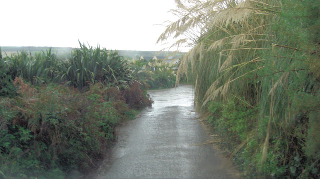
Image: © Stuart Logan Taken: 12 Oct 2012
This is a strange byway. Hendra Lane peters out at a gateway that looks private but we asked a local and he told us that it was a right of way but the residents tried to disguise that fact. Hence the Amazon Jungle effect seen here?
Images are licensed for reuse under creativecommons.org/licenses/by-sa/2.0
Image Location
Latitude
50.103414
Longitude
-5.384883