The beacon on Ruardean Hill
Introduction
The photograph on this page of The beacon on Ruardean Hill by Philip Halling as part of the Geograph project.
The Geograph project started in 2005 with the aim of publishing, organising and preserving representative images for every square kilometre of Great Britain, Ireland and the Isle of Man.

There are currently over 7.5m images from over 14,400 individuals and you can help contribute to the project by visiting https://www.geograph.org.uk
The beacon on Ruardean Hill
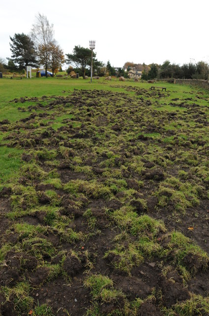
Image: © Philip Halling Taken: 3 Nov 2012
The beacon on Ruardean Hill is 290m above sea level; excluding May Hill, this is the highest point in the Forest of Dean. The disturbed ground in the foreground is as a result of wild boar.
Images are licensed for reuse under creativecommons.org/licenses/by-sa/2.0
Image Location
Latitude
51.850748
Longitude
-2.53218