Holsworthy Skills Centre
Introduction
The photograph on this page of Holsworthy Skills Centre by Derek Harper as part of the Geograph project.
The Geograph project started in 2005 with the aim of publishing, organising and preserving representative images for every square kilometre of Great Britain, Ireland and the Isle of Man.

There are currently over 7.5m images from over 14,400 individuals and you can help contribute to the project by visiting https://www.geograph.org.uk
Holsworthy Skills Centre
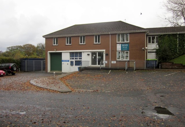
Image: © Derek Harper Taken: 3 Nov 2012
This is mapped as the Police Station, but I think a swap with a nearby vocational education centre must have taken place a little while ago; this is clearly labelled "Holsworthy Skills Centre", and the Police Station is now elsewhere in Well Park, next to the fire station.
Images are licensed for reuse under creativecommons.org/licenses/by-sa/2.0
Image Location
Latitude
50.811956
Longitude
-4.353927