Decayed boundary
Introduction
The photograph on this page of Decayed boundary by Richard Webb as part of the Geograph project.
The Geograph project started in 2005 with the aim of publishing, organising and preserving representative images for every square kilometre of Great Britain, Ireland and the Isle of Man.

There are currently over 7.5m images from over 14,400 individuals and you can help contribute to the project by visiting https://www.geograph.org.uk
Decayed boundary
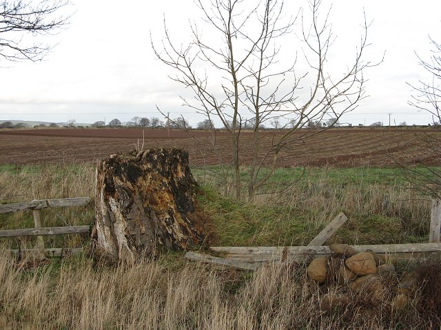
Image: © Richard Webb Taken: 7 Jan 2007
Remains of a fence and a beech tree. Stockproofing is not a priority on an arable farm.
Images are licensed for reuse under creativecommons.org/licenses/by-sa/2.0
Image Location


Leaflet Map data © OpenStreetMap
Latitude
55.791182
Longitude
-2.297397