Footpath by Ham Street station
Introduction
The photograph on this page of Footpath by Ham Street station by Marathon as part of the Geograph project.
The Geograph project started in 2005 with the aim of publishing, organising and preserving representative images for every square kilometre of Great Britain, Ireland and the Isle of Man.

There are currently over 7.5m images from over 14,400 individuals and you can help contribute to the project by visiting https://www.geograph.org.uk
Footpath by Ham Street station
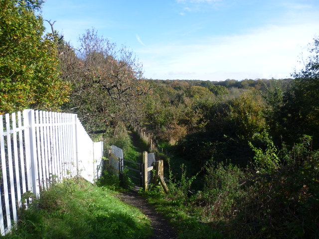
Image: © Marathon Taken: 5 Nov 2012
Ham Street station was opened on 13th February 1851, although the adjacent village is now shown on Ordnance Survey maps and road signs as Hamstreet. Like many former South Eastern Railway stations, the platforms are staggered and are linked by a central foot crossing - see http://www.geograph.org.uk/photo/3212695 This arrangement was constructed where a footbridge was not provided and allowed passengers to cross behind trains if two were at the station simultaneously. This footpath leads away from the foot crossing and links with the Greensand Way and Saxon Shore Way as they pass through Ham Street Woods National Nature Reserve. The latter can be seen ahead.
Images are licensed for reuse under creativecommons.org/licenses/by-sa/2.0
Image Location
Latitude
51.06818
Longitude
0.855208