Dunstanburgh Road, Craster
Introduction
The photograph on this page of Dunstanburgh Road, Craster by Chris Heaton as part of the Geograph project.
The Geograph project started in 2005 with the aim of publishing, organising and preserving representative images for every square kilometre of Great Britain, Ireland and the Isle of Man.

There are currently over 7.5m images from over 14,400 individuals and you can help contribute to the project by visiting https://www.geograph.org.uk
Dunstanburgh Road, Craster
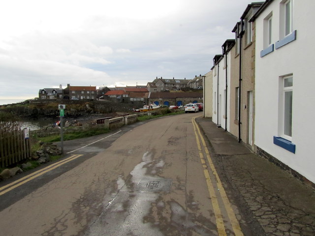
Image: © Chris Heaton Taken: 30 Oct 2012
Adopted by the Northumberland Coast Path, the road passes terraced houses that look out towards the open sea and Craster Harbour.
Images are licensed for reuse under creativecommons.org/licenses/by-sa/2.0
Image Location


Leaflet Map data © OpenStreetMap
Latitude
55.47378
Longitude
-1.59326