Field on the NW side of Brickyard Lane, Newport
Introduction
The photograph on this page of Field on the NW side of Brickyard Lane, Newport by Jaggery as part of the Geograph project.
The Geograph project started in 2005 with the aim of publishing, organising and preserving representative images for every square kilometre of Great Britain, Ireland and the Isle of Man.

There are currently over 7.5m images from over 14,400 individuals and you can help contribute to the project by visiting https://www.geograph.org.uk
Field on the NW side of Brickyard Lane, Newport
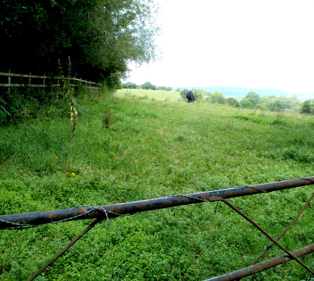
Image: © Jaggery Taken: 8 Aug 2011
For most of its length behind the camera, this side of Brickyard Lane has been at the edge of a slip road at M4 motorway junction 27. Here the two routes diverge. The wooden fence runs parallel with the slip road.
Images are licensed for reuse under creativecommons.org/licenses/by-sa/2.0
Image Location
Latitude
51.58622
Longitude
-3.032242