Brickyard Lane, Newport
Introduction
The photograph on this page of Brickyard Lane, Newport by Jaggery as part of the Geograph project.
The Geograph project started in 2005 with the aim of publishing, organising and preserving representative images for every square kilometre of Great Britain, Ireland and the Isle of Man.

There are currently over 7.5m images from over 14,400 individuals and you can help contribute to the project by visiting https://www.geograph.org.uk
Brickyard Lane, Newport
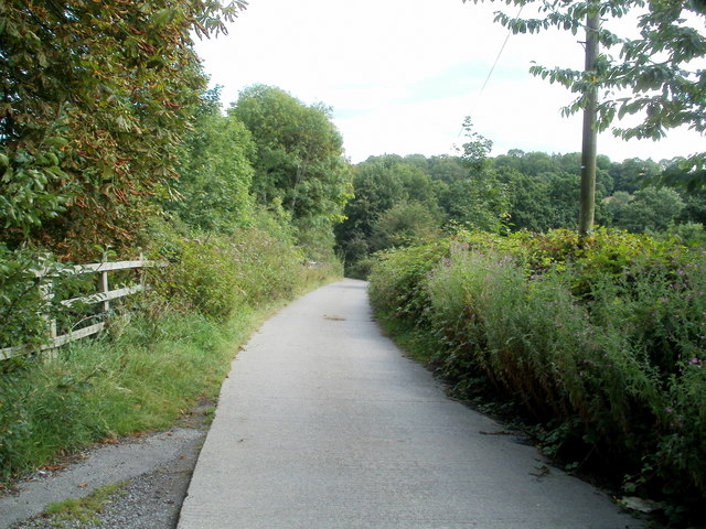
Image: © Jaggery Taken: 8 Aug 2011
The brickyard is long gone. The present-day Brickyard Lane has a rural feel, somewhat tempered by the presence of a motorway slip road at M4 motorway junction 27 on the other side of the hedges on the left. The lane leads to Beau Court Stud and Riding School.
Images are licensed for reuse under creativecommons.org/licenses/by-sa/2.0
Image Location
Latitude
51.585231
Longitude
-3.032219