The Pappert Burn
Introduction
The photograph on this page of The Pappert Burn by Lairich Rig as part of the Geograph project.
The Geograph project started in 2005 with the aim of publishing, organising and preserving representative images for every square kilometre of Great Britain, Ireland and the Isle of Man.

There are currently over 7.5m images from over 14,400 individuals and you can help contribute to the project by visiting https://www.geograph.org.uk
The Pappert Burn
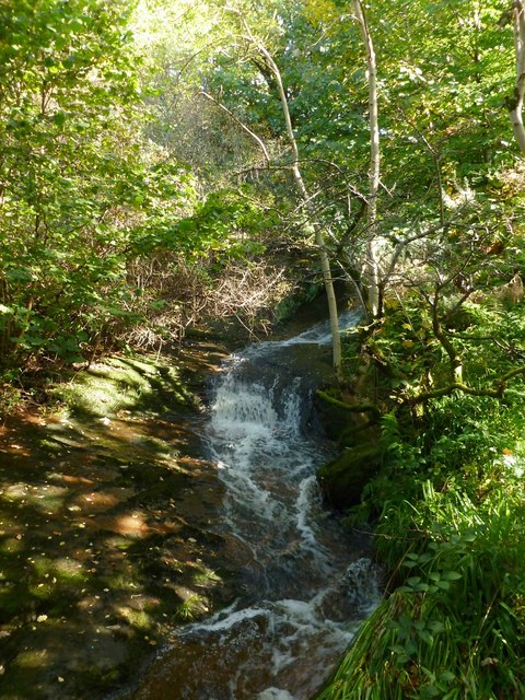
Image: © Lairich Rig Taken: 5 Oct 2012
This section of the burn flows past the northern side of Image The lower reaches of the burn (roughly, from here onwards) seem also to be referred to as the Bonhill Burn.
Images are licensed for reuse under creativecommons.org/licenses/by-sa/2.0
Image Location


Leaflet Map data © OpenStreetMap
Latitude
55.983301
Longitude
-4.568067