Bedwellty House through the trees, Tredegar
Introduction
The photograph on this page of Bedwellty House through the trees, Tredegar by Robin Drayton as part of the Geograph project.
The Geograph project started in 2005 with the aim of publishing, organising and preserving representative images for every square kilometre of Great Britain, Ireland and the Isle of Man.

There are currently over 7.5m images from over 14,400 individuals and you can help contribute to the project by visiting https://www.geograph.org.uk
Bedwellty House through the trees, Tredegar
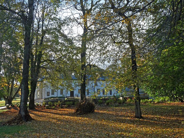
Image: © Robin Drayton Taken: 1 Nov 2012
Taken through the park railings alongside the Promenade d`Orvault which is on the eastern side of the park. Tredegar has been twinned with Orvault, a town in Brittany, since 1979.
Images are licensed for reuse under creativecommons.org/licenses/by-sa/2.0
Image Location
Latitude
51.769046
Longitude
-3.242924