Penlon Llŷn
Introduction
The photograph on this page of Penlon Llŷn by Alan Fryer as part of the Geograph project.
The Geograph project started in 2005 with the aim of publishing, organising and preserving representative images for every square kilometre of Great Britain, Ireland and the Isle of Man.

There are currently over 7.5m images from over 14,400 individuals and you can help contribute to the project by visiting https://www.geograph.org.uk
Penlon Llŷn
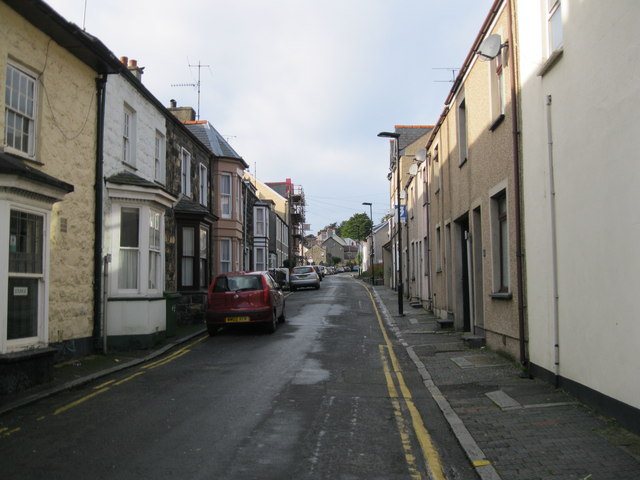
Image: © Alan Fryer Taken: 4 Nov 2012
From the end of Stryd Fawr Penlon Llŷn was, in the past, the main route from Pwllheli westwards along the high ground towards Aberdaron. It avoided the marshy coastal ground which the present A499 follows.
Images are licensed for reuse under creativecommons.org/licenses/by-sa/2.0
Image Location
Latitude
52.889101
Longitude
-4.420633