Houses on Clayfield Rd
Introduction
The photograph on this page of Houses on Clayfield Rd by Nigel Mykura as part of the Geograph project.
The Geograph project started in 2005 with the aim of publishing, organising and preserving representative images for every square kilometre of Great Britain, Ireland and the Isle of Man.

There are currently over 7.5m images from over 14,400 individuals and you can help contribute to the project by visiting https://www.geograph.org.uk
Houses on Clayfield Rd
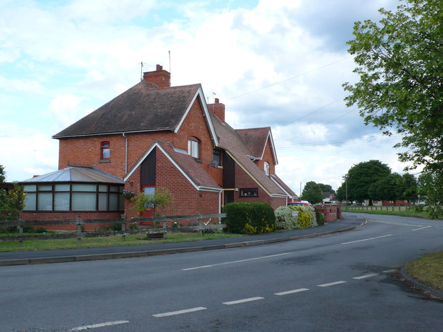
Image: © Nigel Mykura Taken: 10 Jun 2011
Clayfield Rd leads out of the village to Clayfield Barn and then on to South Littleton. These red brick semi-detached house are at the junction with Station Rd.
Images are licensed for reuse under creativecommons.org/licenses/by-sa/2.0
Image Location
Latitude
52.097333
Longitude
-1.873538