The Poplars
Introduction
The photograph on this page of The Poplars by Nigel Mykura as part of the Geograph project.
The Geograph project started in 2005 with the aim of publishing, organising and preserving representative images for every square kilometre of Great Britain, Ireland and the Isle of Man.

There are currently over 7.5m images from over 14,400 individuals and you can help contribute to the project by visiting https://www.geograph.org.uk
The Poplars
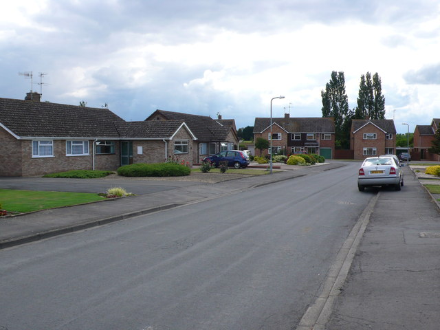
Image: © Nigel Mykura Taken: 10 Jun 2011
This short residential road populated mostly by bungalows is right on the eastern extremity of the grid square just off Badsey High St.
Images are licensed for reuse under creativecommons.org/licenses/by-sa/2.0
Image Location
Latitude
52.087379
Longitude
-1.900274