Blists Hill - canal
Introduction
The photograph on this page of Blists Hill - canal by Chris Allen as part of the Geograph project.
The Geograph project started in 2005 with the aim of publishing, organising and preserving representative images for every square kilometre of Great Britain, Ireland and the Isle of Man.

There are currently over 7.5m images from over 14,400 individuals and you can help contribute to the project by visiting https://www.geograph.org.uk
Blists Hill - canal
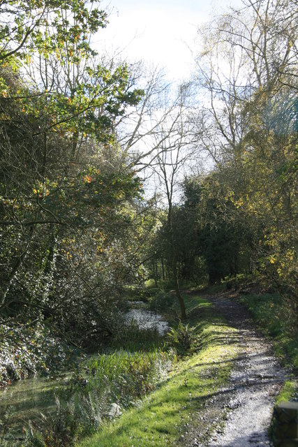
Image: © Chris Allen Taken: 3 Nov 2012
This is the tub boat canal within Blists Hill Victorian Town that leads to the top of the Hay Inclined Plane. On this occasion access beyond here was not possible as a fireworks display had been set up beyond this point.
Images are licensed for reuse under creativecommons.org/licenses/by-sa/2.0
Image Location
Latitude
52.625786
Longitude
-2.452159