Arable land at Wooburn Moor
Introduction
The photograph on this page of Arable land at Wooburn Moor by Graham Horn as part of the Geograph project.
The Geograph project started in 2005 with the aim of publishing, organising and preserving representative images for every square kilometre of Great Britain, Ireland and the Isle of Man.

There are currently over 7.5m images from over 14,400 individuals and you can help contribute to the project by visiting https://www.geograph.org.uk
Arable land at Wooburn Moor
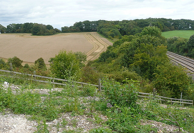
Image: © Graham Horn Taken: 29 Aug 2011
The railway is the Chiltern line between London Marylebone and Birmingham.
Images are licensed for reuse under creativecommons.org/licenses/by-sa/2.0
Image Location


Leaflet Map data © OpenStreetMap
Latitude
51.607808
Longitude
-0.688751