East Down End
Introduction
The photograph on this page of East Down End by Tony Atkin as part of the Geograph project.
The Geograph project started in 2005 with the aim of publishing, organising and preserving representative images for every square kilometre of Great Britain, Ireland and the Isle of Man.

There are currently over 7.5m images from over 14,400 individuals and you can help contribute to the project by visiting https://www.geograph.org.uk
East Down End
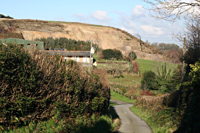
Image: © Tony Atkin Taken: 25 Jan 2007
Behind this farm, which looks like it is now more concerned with horses, is the face of a large quarry.
Images are licensed for reuse under creativecommons.org/licenses/by-sa/2.0
Image Location


Leaflet Map data © OpenStreetMap
Latitude
50.642816
Longitude
-4.439383