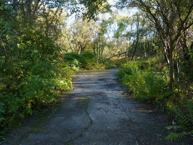
Former site of building on Cordale Point
Introduction
The photograph on this page of Former site of building on Cordale Point by Lairich Rig as part of the Geograph project.
The Geograph project started in 2005 with the aim of publishing, organising and preserving representative images for every square kilometre of Great Britain, Ireland and the Isle of Man.
There are currently over 7.5m images from over 14,400 individuals and you can help contribute to the project by visiting https://www.geograph.org.uk

Image: © Lairich Rig Taken: 5 Oct 2012
When there was a print and dye works on Cordale Point (see Image), there was a building located here; only traces of its floor now remain, as shown here (this is not a track, but a concrete base). As explained at the link just cited, the whole area is highly contaminated; in any case, access to this particular area was subsequently blocked off. The reason for taking this picture was simply to provide a historical record of the area (if only to demonstrate that there is now little worth seeing); see also Image, a view in the opposite direction. The works are now mainly represented by chunks of rubble and pits, all set in muddy ground. The only structure that is substantially intact is the Image, which is visible from the footpath around the Point.

