Flats on the site of the Gas House Tavern
Introduction
The photograph on this page of Flats on the site of the Gas House Tavern by Humphrey Bolton as part of the Geograph project.
The Geograph project started in 2005 with the aim of publishing, organising and preserving representative images for every square kilometre of Great Britain, Ireland and the Isle of Man.

There are currently over 7.5m images from over 14,400 individuals and you can help contribute to the project by visiting https://www.geograph.org.uk
Flats on the site of the Gas House Tavern
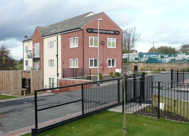
Image: © Humphrey Bolton Taken: 1 Nov 2012
The name board has been saved from the public house and fastened onto the wall of the new building, at the risk of confusing people looking for a pub-restaurant! After the gas works over the road closed, the pub was called ‘The Cockersdale’ for a while, before reverting to its earlier name.
Images are licensed for reuse under creativecommons.org/licenses/by-sa/2.0
Image Location
Latitude
53.764749
Longitude
-1.646658