Jubilee Gardens
Introduction
The photograph on this page of Jubilee Gardens by David P Howard as part of the Geograph project.
The Geograph project started in 2005 with the aim of publishing, organising and preserving representative images for every square kilometre of Great Britain, Ireland and the Isle of Man.

There are currently over 7.5m images from over 14,400 individuals and you can help contribute to the project by visiting https://www.geograph.org.uk
Jubilee Gardens
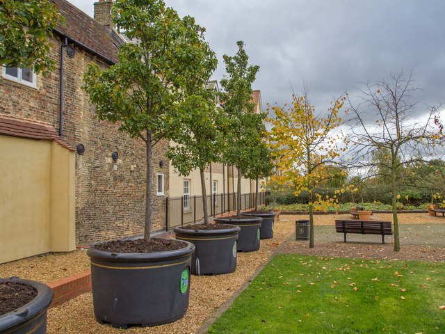
Image: © David P Howard Taken: 29 Oct 2012
A row of trees in large planters at the side of Jubilee Gardens, an area that joins Broad Street to the River Great Ouse.
Images are licensed for reuse under creativecommons.org/licenses/by-sa/2.0
Image Location
Latitude
52.395635
Longitude
0.26676