Road junction at Wrawby
Introduction
The photograph on this page of Road junction at Wrawby by Chris as part of the Geograph project.
The Geograph project started in 2005 with the aim of publishing, organising and preserving representative images for every square kilometre of Great Britain, Ireland and the Isle of Man.

There are currently over 7.5m images from over 14,400 individuals and you can help contribute to the project by visiting https://www.geograph.org.uk
Road junction at Wrawby
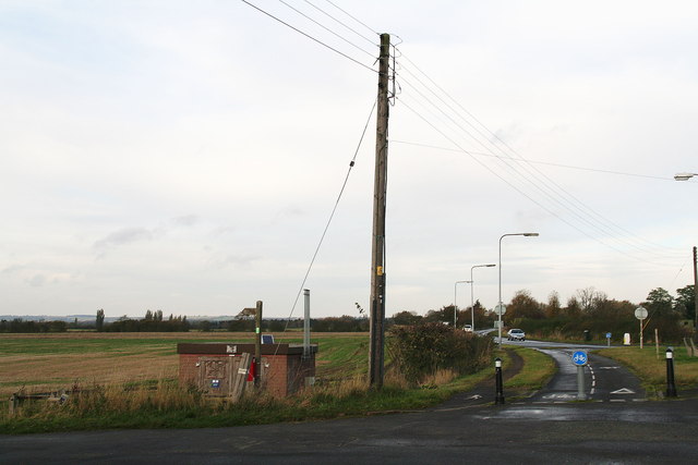
Image: © Chris Taken: 3 Nov 2012
Looking up the B1206 towards Elsham. This is where it joins the A18, "Melton Road" and proceeds into Brigg. The bike track cuts the corner. Off to the left (see footpath sign) is Brickyard Lane (see: Image). The brick shed is a National Grid gas installation.
Images are licensed for reuse under creativecommons.org/licenses/by-sa/2.0
Image Location
Latitude
53.561363
Longitude
-0.471496