Road to Dingestow approaches The Red House Farm
Introduction
The photograph on this page of Road to Dingestow approaches The Red House Farm by Jaggery as part of the Geograph project.
The Geograph project started in 2005 with the aim of publishing, organising and preserving representative images for every square kilometre of Great Britain, Ireland and the Isle of Man.

There are currently over 7.5m images from over 14,400 individuals and you can help contribute to the project by visiting https://www.geograph.org.uk
Road to Dingestow approaches The Red House Farm
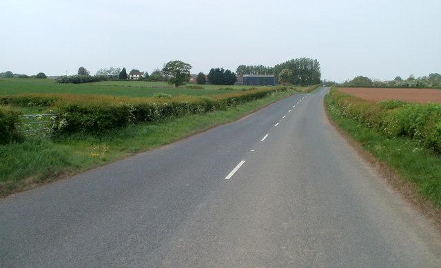
Image: © Jaggery Taken: 1 May 2011
Comonin http://www.geograph.org.uk/photo/3210148 is just behind the camera. Ahead is The Red House Farm. This road was formerly the A40, now a dual carriageway to the north.
Images are licensed for reuse under creativecommons.org/licenses/by-sa/2.0
Image Location


Leaflet Map data © OpenStreetMap
Latitude
51.788437
Longitude
-2.76153