Nottingham, NG5 - "Carrington"
Introduction
The photograph on this page of Nottingham, NG5 - "Carrington" by David Hallam-Jones as part of the Geograph project.
The Geograph project started in 2005 with the aim of publishing, organising and preserving representative images for every square kilometre of Great Britain, Ireland and the Isle of Man.

There are currently over 7.5m images from over 14,400 individuals and you can help contribute to the project by visiting https://www.geograph.org.uk
Nottingham, NG5 - "Carrington"
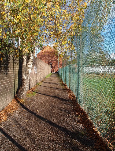
Image: © David Hallam-Jones Taken: 4 Nov 2012
The path that connects Hucknall Road, with Wesley Street, Carrington. The boundary wall belongs jointly to the British Telecom depot and premises used jointly by the 2418 (Sherwood) Squadron/Air Training Corps and the Sherwood Army Cadet Force, with an entrance off Wesley Street in the distance. The playing field on the right belongs to neighbouring Carrington Primary and Nursery School.
Images are licensed for reuse under creativecommons.org/licenses/by-sa/2.0
Image Location
Latitude
52.973606
Longitude
-1.15472