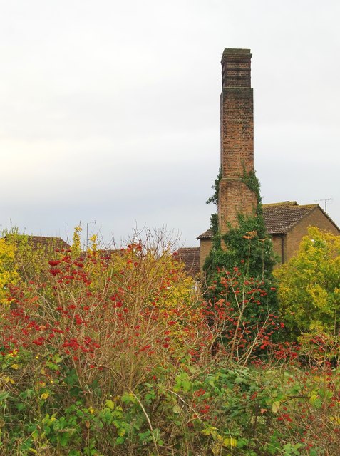
Autumn in Hanworth
Introduction
The photograph on this page of Autumn in Hanworth by Stefan Czapski as part of the Geograph project.
The Geograph project started in 2005 with the aim of publishing, organising and preserving representative images for every square kilometre of Great Britain, Ireland and the Isle of Man.
There are currently over 7.5m images from over 14,400 individuals and you can help contribute to the project by visiting https://www.geograph.org.uk

Image: © Stefan Czapski Taken: 3 Nov 2012
From the end of Forge Lane, by St Richard's church, I followed a footpath through scrub, coming out in a little open area - much of it occupied by a grassy mound. According to the map, both scrub and grassland are part of a nature reserve - though I saw no name-board. Just south of the mound is a tall chimney, partly covered in ivy. The chimney is clearly a relic of some former land-use, not in any way attached to the building just beyond, which is a house in a modern development. The name 'Forge Lane' might give a clue, but looking at a 1974 OS map, I see that in those days the area was occupied by commercial green-houses - so my guess is that the chimney had to do with a horticultural heating system. In the foreground is evidence of the heavy crop of rose-hips in November 2012.

