Farmers Way looking west, Westlands, Droitwich Spa
Introduction
The photograph on this page of Farmers Way looking west, Westlands, Droitwich Spa by P L Chadwick as part of the Geograph project.
The Geograph project started in 2005 with the aim of publishing, organising and preserving representative images for every square kilometre of Great Britain, Ireland and the Isle of Man.

There are currently over 7.5m images from over 14,400 individuals and you can help contribute to the project by visiting https://www.geograph.org.uk
Farmers Way looking west, Westlands, Droitwich Spa
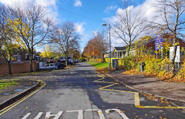
Image: © P L Chadwick Taken: 3 Nov 2012
Farmers Way connects the main road through the Westlands estate, Westwood Road, with the estate's centre. However there is not a great deal to get excited about at the centre, as the number of facilities it offers are surprisingly limited for an estate of this size. It does however have two fish & chip shops, both of which were closed despite it being a Saturday lunchtime. The only places open at that time appeared to be the local pub, and the Costcutters supermarket. The estate originally housed many people who worked for the former British Leyland, later Rover Group etc, motor car works at Longbridge, Birmingham. Access to this was relatively easy by using the nearby A38 road. The declining factory finally closed in 2005. The estate was originally called Boycott after a local land-owning family but later was renamed Westlands.
Images are licensed for reuse under creativecommons.org/licenses/by-sa/2.0
Image Location
Latitude
52.275472
Longitude
-2.16645