Housing provided by converted barracks, Beechfield Road
Introduction
The photograph on this page of Housing provided by converted barracks, Beechfield Road by Roger Templeman as part of the Geograph project.
The Geograph project started in 2005 with the aim of publishing, organising and preserving representative images for every square kilometre of Great Britain, Ireland and the Isle of Man.

There are currently over 7.5m images from over 14,400 individuals and you can help contribute to the project by visiting https://www.geograph.org.uk
Housing provided by converted barracks, Beechfield Road
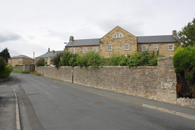
Image: © Roger Templeman Taken: 23 Aug 2012
There is an OS benchmark Image on the inscribed stone inserted in the wall end near the right hand side of the image
Images are licensed for reuse under creativecommons.org/licenses/by-sa/2.0
Image Location
Latitude
54.409735
Longitude
-1.730962