Tyrbin gwynt ym Mhorth Eirias / Wind turbine at Porth Eirias
Introduction
The photograph on this page of Tyrbin gwynt ym Mhorth Eirias / Wind turbine at Porth Eirias by Ceri Thomas as part of the Geograph project.
The Geograph project started in 2005 with the aim of publishing, organising and preserving representative images for every square kilometre of Great Britain, Ireland and the Isle of Man.

There are currently over 7.5m images from over 14,400 individuals and you can help contribute to the project by visiting https://www.geograph.org.uk
Tyrbin gwynt ym Mhorth Eirias / Wind turbine at Porth Eirias
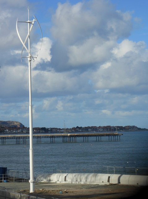
Image: © Ceri Thomas Taken: 3 Nov 2012
This is one of two turbines that have been installed at the Porth Eirias watersports centre to meet BREEAM standards.
Images are licensed for reuse under creativecommons.org/licenses/by-sa/2.0
Image Location
Latitude
53.294861
Longitude
-3.716954