Road junction in Haugh of Urr
Introduction
The photograph on this page of Road junction in Haugh of Urr by Ann Cook as part of the Geograph project.
The Geograph project started in 2005 with the aim of publishing, organising and preserving representative images for every square kilometre of Great Britain, Ireland and the Isle of Man.

There are currently over 7.5m images from over 14,400 individuals and you can help contribute to the project by visiting https://www.geograph.org.uk
Road junction in Haugh of Urr
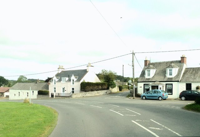
Image: © Ann Cook Taken: 15 Sep 2012
Main Street bears around to the left, The Causey goes to the right and Port Road is in the centre.
Images are licensed for reuse under creativecommons.org/licenses/by-sa/2.0
Image Location
Latitude
54.975471
Longitude
-3.858244