Two semis, Rickards Street, Pontypridd
Introduction
The photograph on this page of Two semis, Rickards Street, Pontypridd by Jaggery as part of the Geograph project.
The Geograph project started in 2005 with the aim of publishing, organising and preserving representative images for every square kilometre of Great Britain, Ireland and the Isle of Man.

There are currently over 7.5m images from over 14,400 individuals and you can help contribute to the project by visiting https://www.geograph.org.uk
Two semis, Rickards Street, Pontypridd
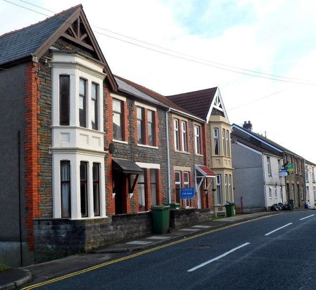
Image: © Jaggery Taken: 12 Jan 2012
These two semi-detached houses are in an area of Pontypridd where the houses are mostly in rows of varying length.
Images are licensed for reuse under creativecommons.org/licenses/by-sa/2.0
Image Location
Latitude
51.598091
Longitude
-3.335129