44 Rickards Street, Pontypridd
Introduction
The photograph on this page of 44 Rickards Street, Pontypridd by Jaggery as part of the Geograph project.
The Geograph project started in 2005 with the aim of publishing, organising and preserving representative images for every square kilometre of Great Britain, Ireland and the Isle of Man.

There are currently over 7.5m images from over 14,400 individuals and you can help contribute to the project by visiting https://www.geograph.org.uk
44 Rickards Street, Pontypridd
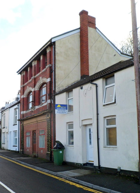
Image: © Jaggery Taken: 12 Jan 2012
3 storeys high, 44 Rickards Street is conspicuously unlike neighbouring properties. Now in residential use, it was probably once a shop or pub.
Images are licensed for reuse under creativecommons.org/licenses/by-sa/2.0
Image Location
Latitude
51.598341
Longitude
-3.336869