Side view of Westbury on Trym Methodist Church, Bristol
Introduction
The photograph on this page of Side view of Westbury on Trym Methodist Church, Bristol by Jaggery as part of the Geograph project.
The Geograph project started in 2005 with the aim of publishing, organising and preserving representative images for every square kilometre of Great Britain, Ireland and the Isle of Man.

There are currently over 7.5m images from over 14,400 individuals and you can help contribute to the project by visiting https://www.geograph.org.uk
Side view of Westbury on Trym Methodist Church, Bristol
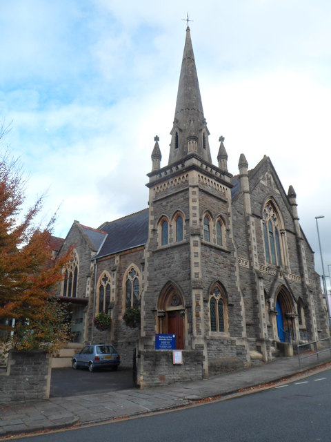
Image: © Jaggery Taken: 29 Oct 2012
Located on the north side of the Waters Lane/Westbury Hill junction. The church was built and opened in 1889 on the site of a chapel built in 1811 and demolished early in 1889.
Images are licensed for reuse under creativecommons.org/licenses/by-sa/2.0
Image Location
Latitude
51.492749
Longitude
-2.617016