Bacup Cricket Club - Scoreboard
Introduction
The photograph on this page of Bacup Cricket Club - Scoreboard by BatAndBall as part of the Geograph project.
The Geograph project started in 2005 with the aim of publishing, organising and preserving representative images for every square kilometre of Great Britain, Ireland and the Isle of Man.

There are currently over 7.5m images from over 14,400 individuals and you can help contribute to the project by visiting https://www.geograph.org.uk
Bacup Cricket Club - Scoreboard
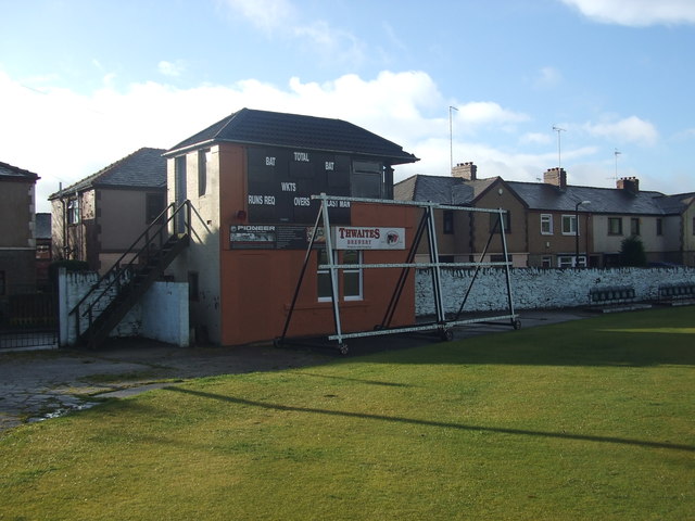
Image: © BatAndBall Taken: 2 Nov 2012
Bacup CC's new electronic scoreboard. Preparations for winter are well underway with only the metal "skeletons" of the sighstcreens left open to the elements.
Images are licensed for reuse under creativecommons.org/licenses/by-sa/2.0
Image Location
Latitude
53.705963
Longitude
-2.19841