A field just north of the A35 site of Seaview Cottages
Introduction
The photograph on this page of A field just north of the A35 site of Seaview Cottages by Roger Templeman as part of the Geograph project.
The Geograph project started in 2005 with the aim of publishing, organising and preserving representative images for every square kilometre of Great Britain, Ireland and the Isle of Man.

There are currently over 7.5m images from over 14,400 individuals and you can help contribute to the project by visiting https://www.geograph.org.uk
A field just north of the A35 site of Seaview Cottages
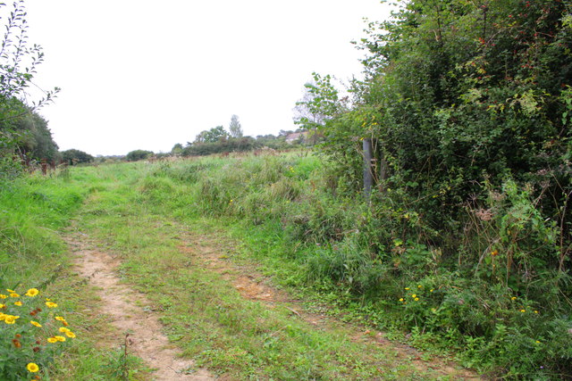
Image: © Roger Templeman Taken: 21 Sep 2012
The cottages were demolished when the A35 was constructed with the loss of a Ordnance Survey cut mark benchmark http://www.bench-marks.org.uk/bm29046
Images are licensed for reuse under creativecommons.org/licenses/by-sa/2.0
Image Location
Latitude
50.723498
Longitude
-2.763823